it should be noted that this was among the strongest August storms on record
in the Pacific NW, though just barely not a September storm.
And how about this interesting result from the storms!
Just before the 'big one' hit (the wetter of the two) I took an unused plastic garbage can and put it under a downspout. I then cut the downspout with tin snips, pinched in the lower part to (supposedly) make a ramp from the back so all the water would fall into the 'storage bin' . I added a small square of plastic foam to improve the diversion, it's at least 80-90% effective in stopping drips below the downspout.
In theory this would catch 1/4 of the rain hitting the roof, assuming gutters are fully balanced and each corner is doing the same job. Our home was recently re-leveled so it's a fair generalization.
The next morning I found the standard garbage can to be Completely Full with a decent amount pooled on our driveway. This for a storm of less than 3/4 inch! I siphoned most of it to the ditch beside our driveway, so less water hung out on the concrete and found a way under the house this way. Proof of concept successful, but clearly not yet a permanent solution..
And another thing..
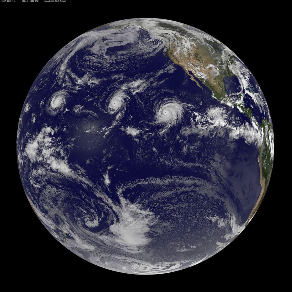
How's this for entertainment, and for the record 'books' - three cat-4 storms in the w/central Pacific at once!. Hawaii is left of center between the two storms on the left, so Ignasio is aiming for it but should be curving north in time.
And of course there's this nonsense - "The event has been linked to a stronger than usual El Niño event, which researchers are saying we should start to get used to, as many more are expected in the future. "
But wait there's more!
Hurricane Fred developed closer to the African coast than any storm in history*!
Hurricane warnings in the Cape Verde islands, first time Ever!
* at its latitude, at least - a few further south have it beat on this one.


